Driving Directions: Traversing Hatteras Island

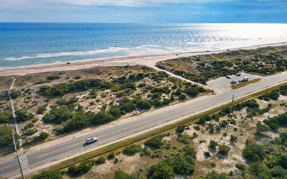
The Outer Banks is filled with incredible destinations that are waiting to be explored. Stretching 70 miles, Cape Hatteras National Seashore encompasses the charming villages of Rodanthe, Waves, Salvo, Avon, Buxton, Frisco, and Hatteras. Most travelers experience this slice of paradise driving to Hatteras Island, as it offers flexibility and allows you to bring all the gear and supplies you need for a comfortable stay. Making your journey by car is also a great way to take in the beauty of this region.
Let Surf or Sound Realty be your guide to getting around Hatteras Island. To help you navigate, we compiled a list of helpful information, such as where our offices are located, how to avoid traffic, and much more. Before hitting the road, load your car up with all your favorite road trip snacks and a playlist of all the best car ride songs queued up!
Our Offices
Surf or Sound Realty operates three offices on Hatteras Island. Whether you need to stop in for the key to your vacation rental home or have some questions, we are here for you. The addresses and maps with driving directions to all three of our offices are below.

Preferred Summer Travel Route from the North
Not using I-95
(Orange route on map)
- From I-64 in Chesapeake, take exit 291B for US-17 South, VA 168 South
- Take exit 15B for US-17 South, keep right on US-17 South
- Follow US-17 South into North Carolina
- Take US-17 South bypass around Elizabeth City
- Continue on US-17 South to NC-37 South
- Turn left on NC-37 South (NC-37 South becomes NC-32 South)
- Follow NC-32 South
- Make a left onto 94 South
- Make a right onto Benson Road
- Turn left on US-64 East
- Keep going east to Roanoke Island and the Outer Banks
- Once across the Causeway, turn right onto NC-12 South onto Hatteras Island
Alternative Summer Travel Route from the North
If using I-95 is more convenient for you
- Follow I-95 South to North Carolina and take Exit 138 for US-64 East toward Rocky Mount
- Follow US-64 East through Williamston and Plymouth, NC
- From Plymouth, NC, keep going East to Roanoke Island and the Outer Banks
- Once across the Causeway, turn right onto NC-12 South onto Hatteras Island
Non-Summer Travel Route from the North
(Blue route on map)
- Follow I-95 South to Richmond, VA
- Take I-64 East toward Norfolk/Virginia Beach, VA
- Take 64 or 664 to Chesapeake, VA
- Go south on 168, Chesapeake Expressway (Chesapeake Expressway is a toll road. To bypass tolls, take 168 South Business in Virginia)
- Once in North Carolina, 168 turns into US-158 East
- Follow this road onto the Outer Banks until you reach NC-12 South at the south end of Nags Head
- Take NC-12 South to Hatteras Island
Driving Directions from the West
- Coming from Raleigh, take US-64 East toward Rocky Mount
- Follow US-64 East through Williamston and Plymouth, NC
- From Plymouth, NC, keep going east to Roanoke Island and the Outer Banks
- Once across the causeway, turn right onto NC-12 South onto Hatteras Island
Driving Directions from the South
- Coming from South Carolina, take I-95 to Wilson, NC
- Take US-264 East through Greenville and Washington, NC
- From Washington, take State Route 30 to Plymouth, NC, and follow the directions above via US-64 East to Hatteras Island
Approximate Outer Banks Mileage from Hatteras Island
Hatteras Island is close to many other destinations in the Outer Banks. Here’s a look at how many miles it takes to drive to Hatteras Island from other Outer Banks locations.
Kitty Hawk - 38
Manteo - 29
Nags Head - 30
Ocracoke - 19


